GEO-INTERNATIONAL
SURVEY . DESIGN . CONSTRUCTION
Geo-International Limited offers integrated engineering services with precision and excellence across all project phases.
Explore Our DepartmentsFounded to bridge the gap between quality and affordability in Kenya's construction industry
Geo-International Limited was founded by Kenyan professionals who recognized the need to harmonize the gap between quality and up-to-standard service while maintaining affordability without compromising on quality.
We boast of a highly qualified team of Engineers, Surveyors, Safeguards, Sociologists and Risk professionals with a combined 10+ years of practical experience in Construction, Land survey, Civil Works design and Risk Management.
Vision: To be a market leader in the provision of engineering services, fostering growth and development in Engineering Construction, Land survey and related industries.
Mission: To offer tailor-made solutions to our clientele thereby contributing effectively towards growth and progress in the arena of Engineering Construction, Geospatial consultancy, development and industry.
Specialized divisions offering comprehensive engineering solutions
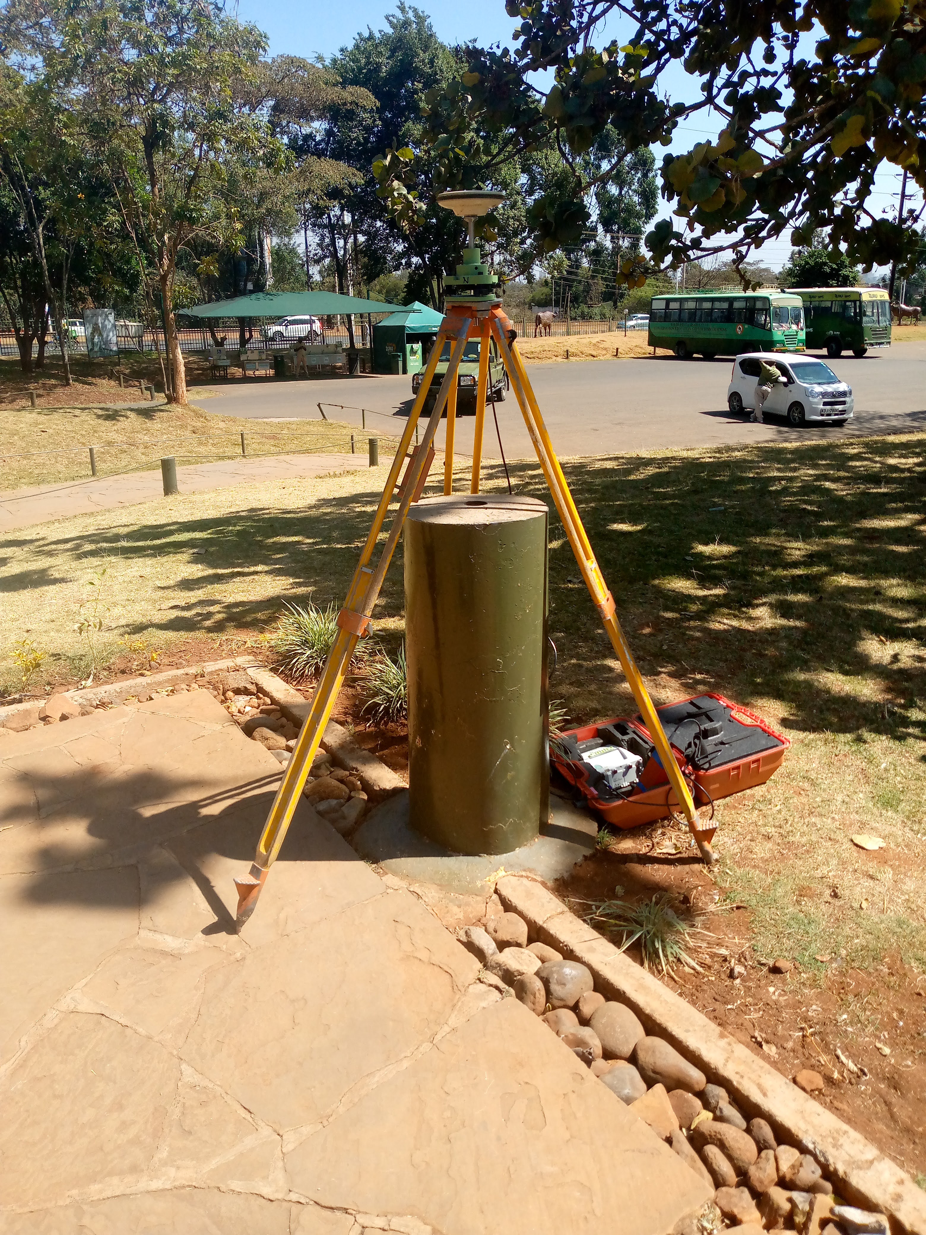
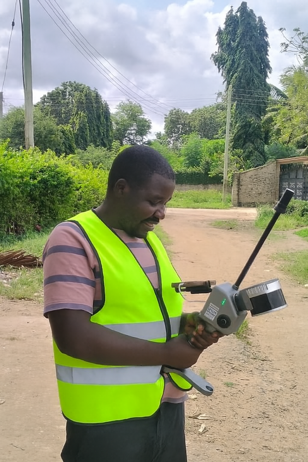
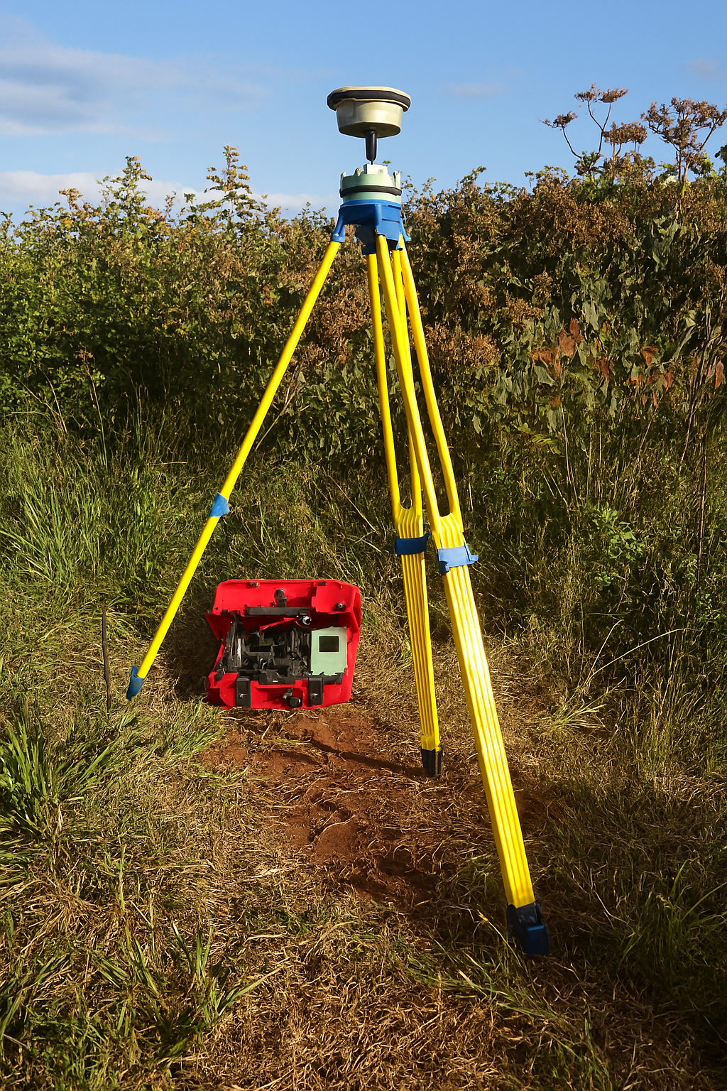
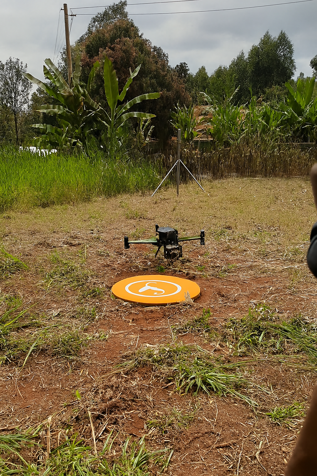
Precision surveying services using state-of-the-art technology
Our Land Survey department provides accurate and reliable geospatial data essential for planning, design, and construction projects. With advanced equipment and experienced surveyors, we deliver precise measurements and mapping services.
Detailed mapping of natural and man-made features for engineering design and planning.
Boundary determination, subdivision, and property demarcation for legal purposes.
Construction layout, alignment, and as-built surveys for infrastructure projects.
High-precision positioning using satellite technology for large-scale projects.
Underwater mapping for marine construction, dredging, and water resource management.
Spatial data analysis, digital mapping, and geographic information systems development.
Innovative engineering solutions for infrastructure development
Our Design department transforms concepts into detailed engineering plans using the latest software and design methodologies. We create sustainable, efficient, and cost-effective designs for various infrastructure projects.
Geometric design, pavement design, and drainage systems for road infrastructure.
Water supply systems, treatment plants, sewer networks, and drainage solutions.
Building structures, bridges, retaining walls, and other civil engineering structures.
Building layouts, facades, and interior designs for commercial and residential projects.
EIA studies, waste management systems, and sustainable design solutions.
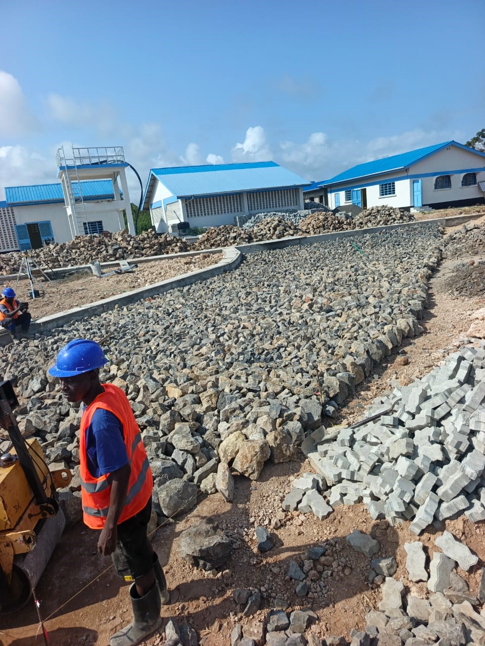
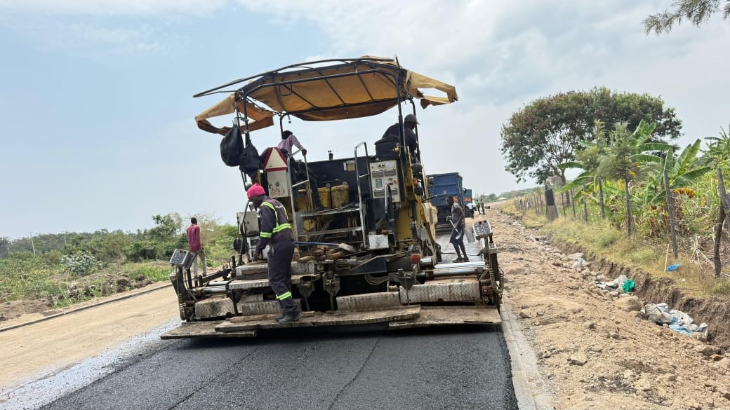
Quality construction services delivered on time and within budget
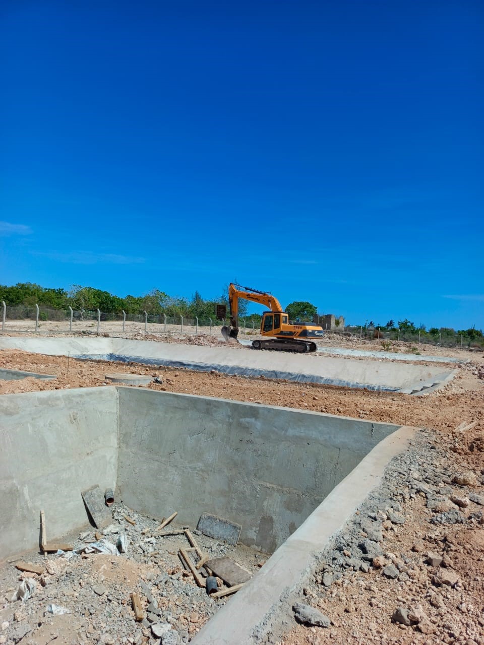
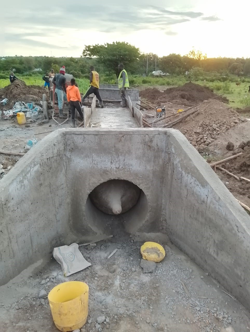
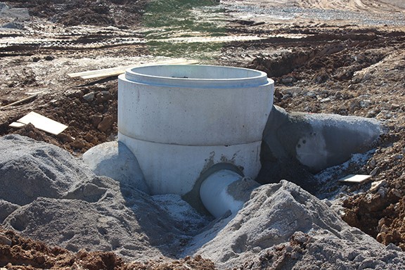
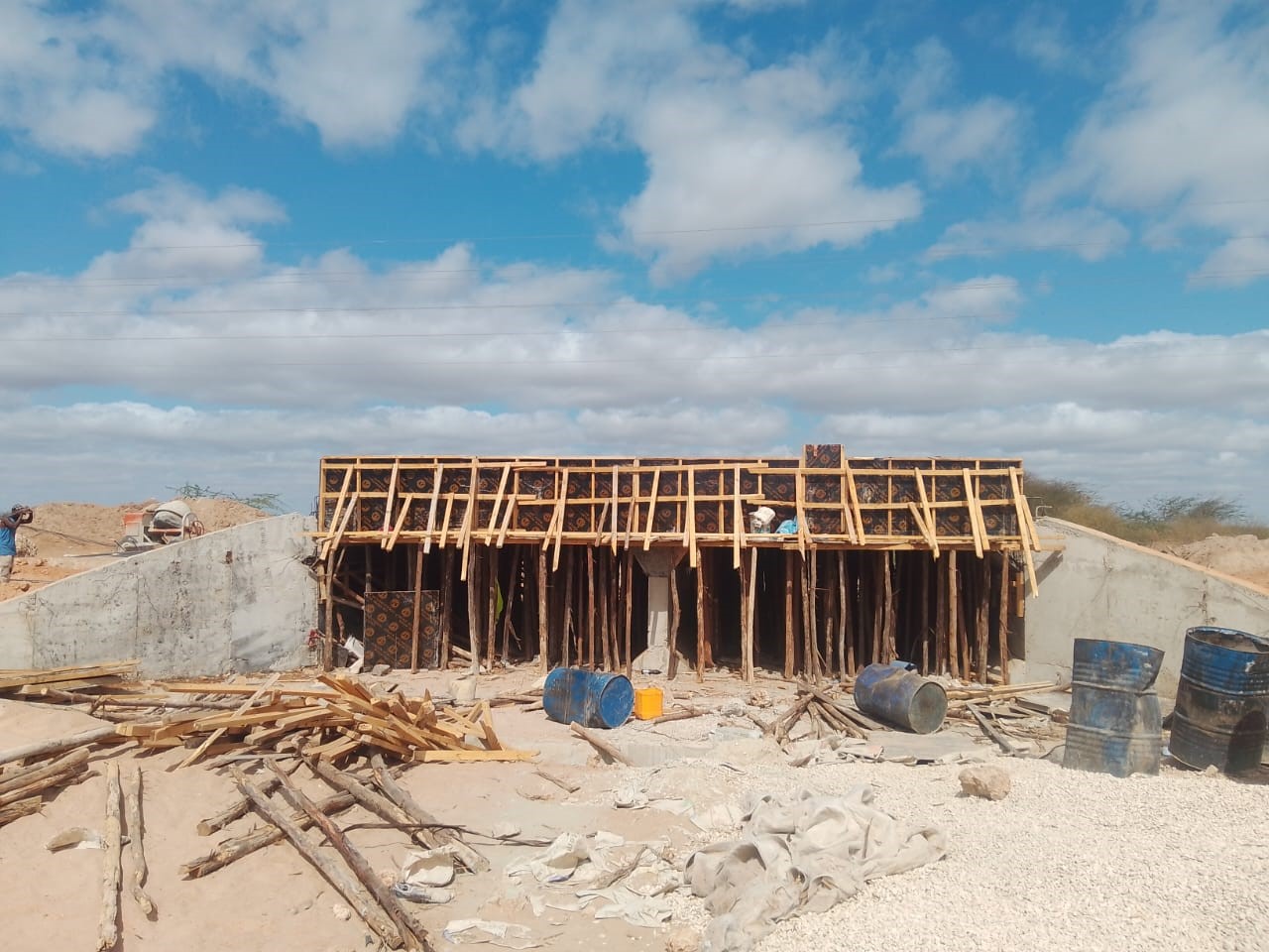
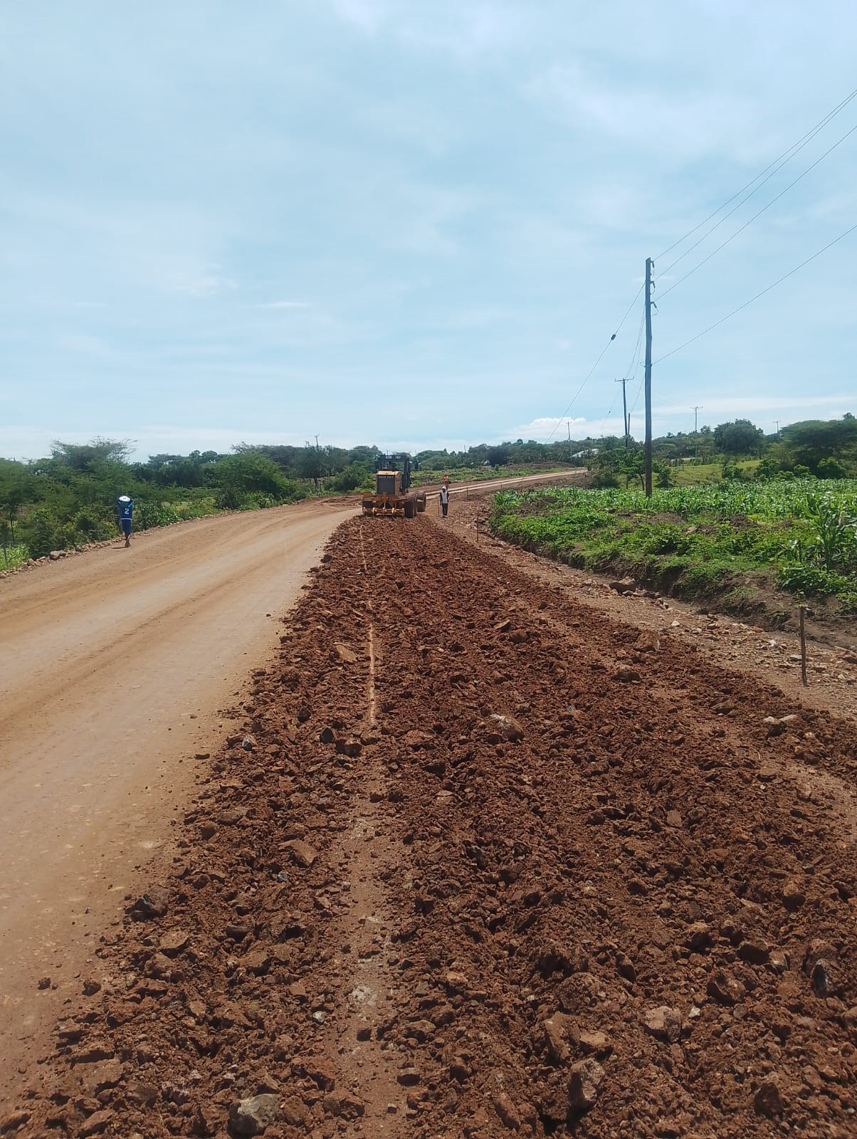
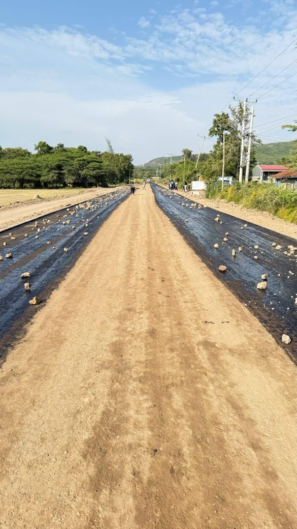
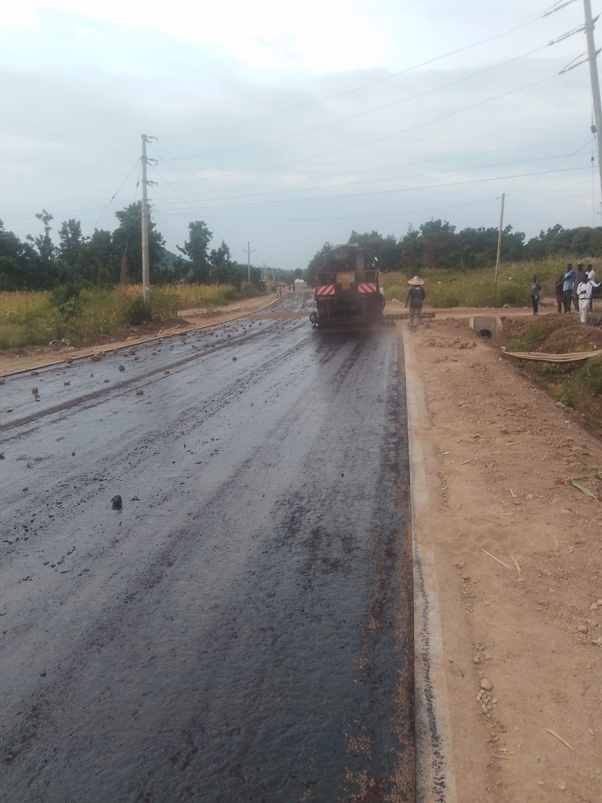
Our Construction department manages project execution from groundbreaking to completion. With a focus on quality, safety, and efficiency, we deliver infrastructure projects that meet client specifications and regulatory standards.
Commercial, residential, and institutional buildings with quality finishes.
Earthworks, pavement construction, and ancillary road furniture installation.
Pipeline installation, treatment plants, reservoirs, and sewer systems.
Construction of bridges, culverts, and other hydraulic structures.
Excavation, filling, grading, and preparation of construction sites.
Comprehensive project planning, coordination, and execution oversight.
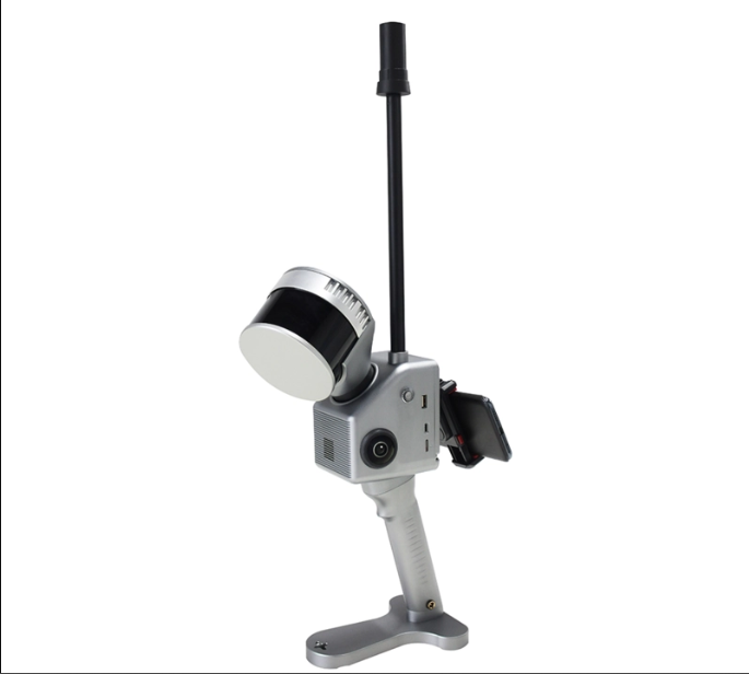
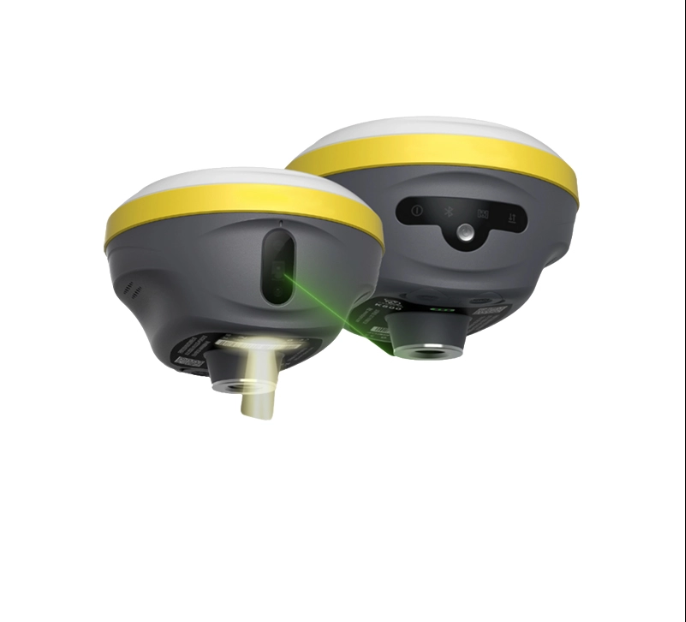
High-quality surveying and mapping equipment available for purchase
Mobile Mapping Solution - Geosun GS-100G Building 3D Data Collection
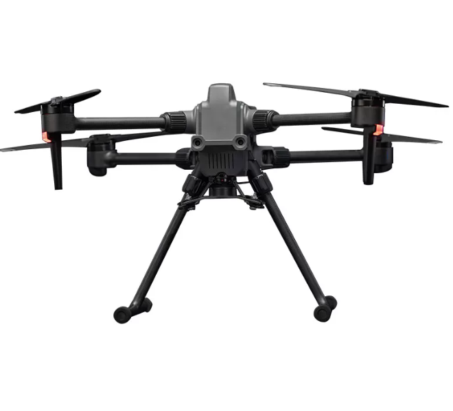
For Inspection, Mapping, Surveying & Security Applications
Magnesium-Alloy + Long-Endurance + Multi-Constellation
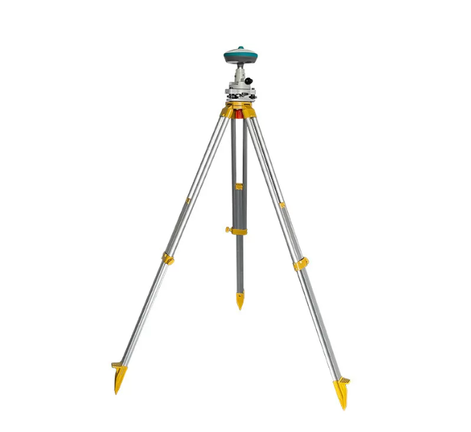
Professional Surveying System for High-Accuracy Measurements
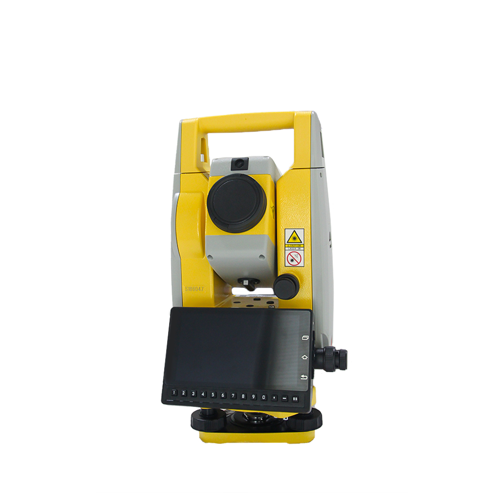
High-precision electronic theodolite integrated with electronic distance measurement
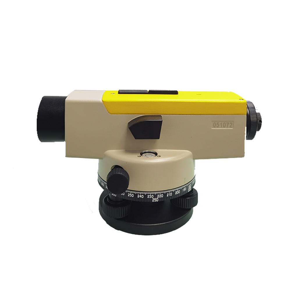
Automatic level for precise elevation measurements
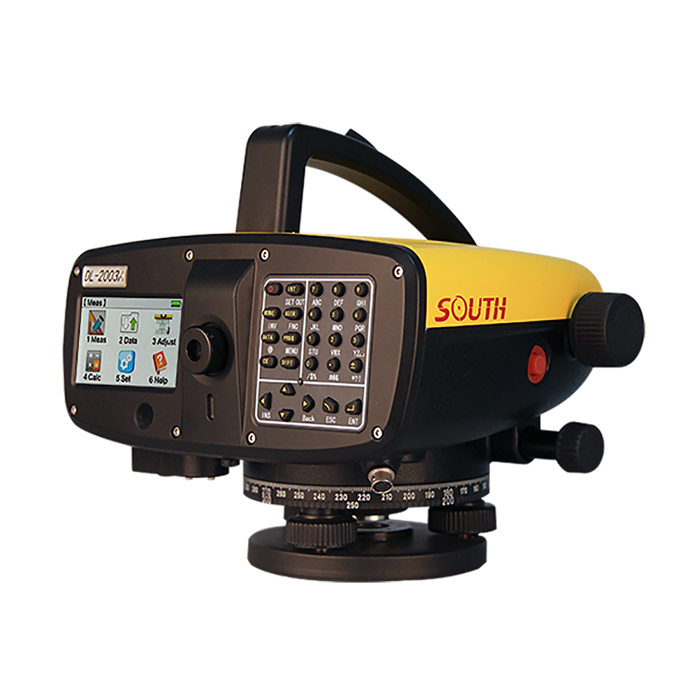
Precision digital levels with advanced optical technology for accurate elevation measurements
Showcasing our successful projects across Kenya and beyond
Comprehensive topographic and cadastral survey for the Rusinga Island Ring Road project in Homa Bay County.
Route survey and cross-sectional mapping for the Karimenu II Water Supply Project in Kiambu County.
Physical planning, cadastral survey and detailed topographical survey of 11 selected informal settlements in Embu and Laikipia Counties.
Topographical survey of preliminary and final designs for Konza Technopolis Water Supply and Wastewater Treatment Project.
Preliminary and final designs for Mosongo Chebai Water Supply Project in collaboration with LYN-WWDA.
Upgrading the existing 19.3 km Rusinga Island Ring Road to bitumen standards in Homa Bay County.
Construction of two fecal sludge treatment plants (FSTPs) in Malindi and Watamu to manage waste and improve environmental conditions.
DN 280 Pipe laying of Wetethic reticulation to increase connection on the existing reticulation network.
Topographical survey of water supply infrastructure including pipelines, reservoirs, and distribution networks in Kiptogot Kolongolo area.
A visual showcase of our completed projects
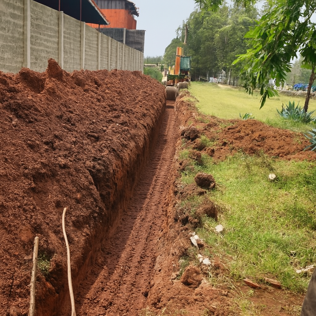

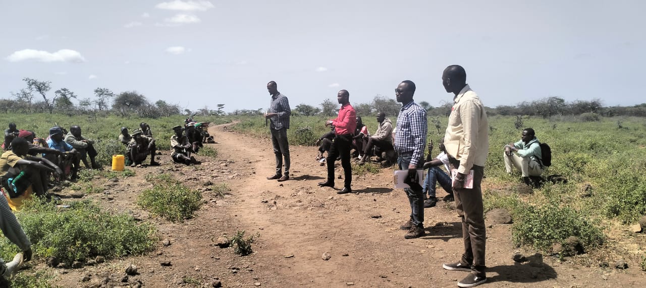
Continuous showcase of our diverse project portfolio
Collaborating with industry leaders to deliver exceptional results
Leading provider of advanced LiDAR technology and surveying solutions for precise geospatial data collection and analysis.
Visit WebsiteMeet our experienced professionals dedicated to excellence
Managing Director
A results-driven professional with over 15 years of experience in surveying and project management. Skilled in leading teams and executing large-scale geospatial and civil engineering projects.
Engineering Design and Construction Manager
A seasoned Civil Engineer with over 10 years of hands-on experience in the design, construction, and project management of residential and commercial developments.
Site Engineer
A seasoned Civil Engineer with extensive experience in infrastructure construction, specializing in site supervision for roads, water systems, and building projects.
Project Surveyor/Foreman
Experienced in supervising construction sites, coordinating labor, materials, and equipment to ensure quality and timely delivery. Skilled in surveying, interpreting plans, and maintaining safety standards.
Safeguard/Environmentalist
Environmental specialist with expertise in compliance management, audits, and sustainable project implementation. Holds a degree in Environmental Science and experience in environmental data analysis.
Administrator
Oversees company operations and administration. Holds a degree in Business Management with experience in human resource coordination and organizational management.
Join our team of dedicated professionals and build your career with us
At Geo-International, we believe our people are our greatest asset. We offer competitive compensation, professional development opportunities, and a collaborative work environment where innovation and excellence are celebrated.
We currently don't have any open positions, but we're always looking for talented individuals to join our team. Please check back regularly for future opportunities.
We appreciate your interest in joining Geo-International and encourage you to follow our website and social media for updates on future career opportunities.
Our commitment to quality and regulatory standards
Registered under the Companies Act, 2015
Building Works Contractor (NCA8)
NCA Category 8 Certification
Get in touch with our team for your construction and engineering needs
+254789700222
+254721732955
geointernationaltd@gmail.com
We're here to help with your engineering and construction needs. Please feel free to reach out to us directly via phone, email, or any of our social media channels.
Our team is ready to assist you with land surveying, design services, construction projects, or product inquiries.